Plotting Pausanias and Following Fermor: Recent Fieldwork from the CARTography Project
Fri. Mar. 6 03:30 PM
- Fri. Mar. 6 05:00 PM
Contact: m.funke@uwinnipeg.ca
Location: 2M70
 Chelsea A.M. Gardner, Assistant Professor of Ancient History
Department of History & Classics, Acadia University
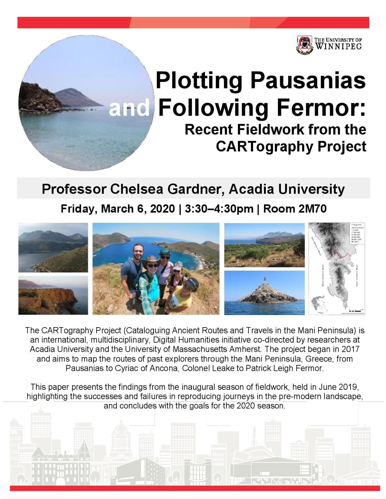
The CARTography Project (Cataloguing Ancient Routes and Travels in the Mani Peninsula) is an international, multidisciplinary, Digital Humanities initiative co-directed by researchers at Acadia University and the University of Massachusetts Amherst. The project began in 2017 and aims to map the routes of past explorers through the Mani Peninsula, Greece, from Pausanias to Cyriac of Ancona, Colonel Leake to Patrick Leigh Fermor. The first phase of the project involved building models of the travelers’ probable routes with Geographic Information Systems (GIS) software, using the pre-modern path network that was recorded in 2014-2016. These routes are now being ground-truthed through experimental hikes and documented with GPS and video recordings. The purpose of these hikes is to better understand the embodied experience of the travelers’ journeys (including seasonality, mode of transportation, and potential alternative routes), and to obtain data that can be used to assess the accuracy of computer-generated models like least-cost paths.
This paper presents the findings from the inaugural season of fieldword, held in June 2019, in which the directors attempted to recreate two journeys: 1) the route that Patrick (Paddy) and Joan Leigh Fermor took from Limeni to Kotronas in July 1951, later memorialized in the travelogue Mani: Travels in the Southern Peloponnese; and 2) Pausanias' 2nd century CE route from Las to Oitylos by land and by sea. This paper presents the results of these experimental trips, highlighting the successes and failures in reproducing journeys in the pre-modern landscape, and concludes with the goals for the 2020 season.