Map of Rupert's Land
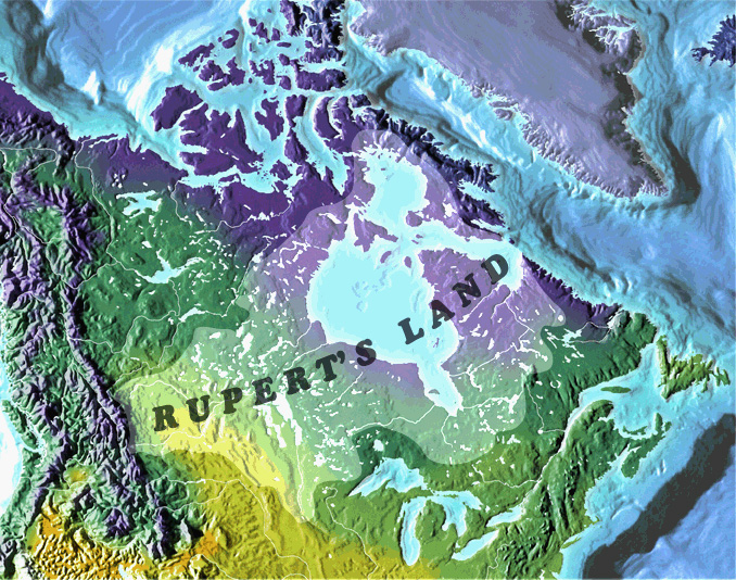
Image by Weldon Hiebert, Geography Department, University of Winnipeg
Map Base by Mountain High Maps
Legend
Purple: Alpine/Tundra
Green: Forest
Yellow: Grassland
Copyright © 2000 - Centre for Rupert's Land Studies at the University of Winnipeg