Facilities
The Department of Geography is located on the 5th floor of Lockhart Hall and the 4th floor mezzanine level of Centennial Hall (Geography Department Map). The Geography Department has a variety of exceptional facilities available to students. These include:
Computer Labs
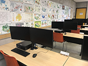 The Geography Department's Computer Labs provide tools vital to modern geographic analysis, allowing students to develop skills that will make themselves more attractive to potential employers and graduate schools. The facilities are equipped with up-to-date desktop computers, connected together in a Local Area Network. Peripheral devices include laser printers and a large format colour printer. Lab software includes ArcGIS, ArcGIS Pro, IDRISI TerrSet, SPSS, Google Earth Pro, R, RStudio and Microsoft Office (Word, Excel, etc.).
The facilities allow the department to offer techniques courses in statistical analysis, cartography, geographic information systems and remote sensing. The labs are also used by a variety of other geography courses for occasional demonstrations and assignments. Geography majors find the labs a convenient place for Internet information searches and word processing. Students are strongly encouraged to take courses that will help them develop computer skills because computer skills have become an absolute necessity in almost all geography related careers.
Physical Geography Lab Complex
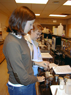 The Geography Department has an extensive Physical Geography Lab Complex. This Complex, comprised of seven labs, provides our students with the technical skills in the disciplines of Geology, Geomorphology and Sedimentology, Soil Science, and Palynology (pollen analysis). The Physical Lab complex is also home to the Geography Museum, a extensive research collection of rocks, minerals and fossils focusing on Manitoba's rich geologic history. The museum also houses a limited number of ethnological artifacts and herbarium specimens. An active museum volunteer program provides students with an opportunity to gain experience working directly with the collections.
Geology Lab:
Students are trained to identify minerals and rocks, in hand-specimen and thin-section, to identify the major fossil groups, and to construct and interpret geological cross-sections. The Department has an extensive mineral and rock collection in its reference museum. To aid in teaching, the Department has a research microscope linked to a TV monitor, so that students can easily learn the skills of optical mineralogy.
Geomorphology and Sedimentology Lab:
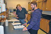
Students taking Geomorphology or Sedimentology have weekly labs in which they learn to analyse sediment samples, with the goal of identifying their origin and environment of deposition. The Lab is equipped with an atomic absorption spectrophotometer (for heavy metal analysis), sieve shakers for particle size analysis, a diamond saw and polisher for thin-section analysis, and a wide range of equipment to aid in the collection of field samples. Field work is an important part of the Geomorphology and Sedimentology program.
 Soils and Vegetation Lab:
This lab possesses the standard equipment for the chemical and physical analysis of soil samples collected during field excursions of the Soils and Vegetation course or by thesis/research students and faculty. The equipment includes bulk density corers, drying ovens, furnaces for burning off organic matter and carbonate, digital balances, pH and salinity meters, a spectrophotometer, and a colorimeter. The Department has a small herbarium, containing a collection of prairie grasses and herbs.
Palynology Lab:
This Lab provides students with a link between Soils and Vegetation and Climatology. Pollen is remarkably resistant and frequently survives in lake bed sediments and muskeg. It is possible to identify many pollen types and in so-doing recognize the pattern of vegetative recolonization of recently deglaciated areas of Canada. The Lab possesses a type-slide collection of pollen and four research-quality microscopes to facilitate pollen identification
Map Library
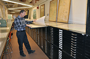 The Map Library was established in the spring of 1972 to meet the needs of the Geography Department, the University community and the general public. The Map Library's collections are extensive and fulfill many purposes, including research, instruction and every-day use. The Map Library is a depository for the National Topographic System (NTS) maps at scales of 1:50,000 and 1:250,000. The collection also includes aerial photos, atlases, travel information, books, gazetteers and other related cartographic material.
GESA Common Room
Located in the heart of the Geography Department is the Geography and Environmental Organization Students 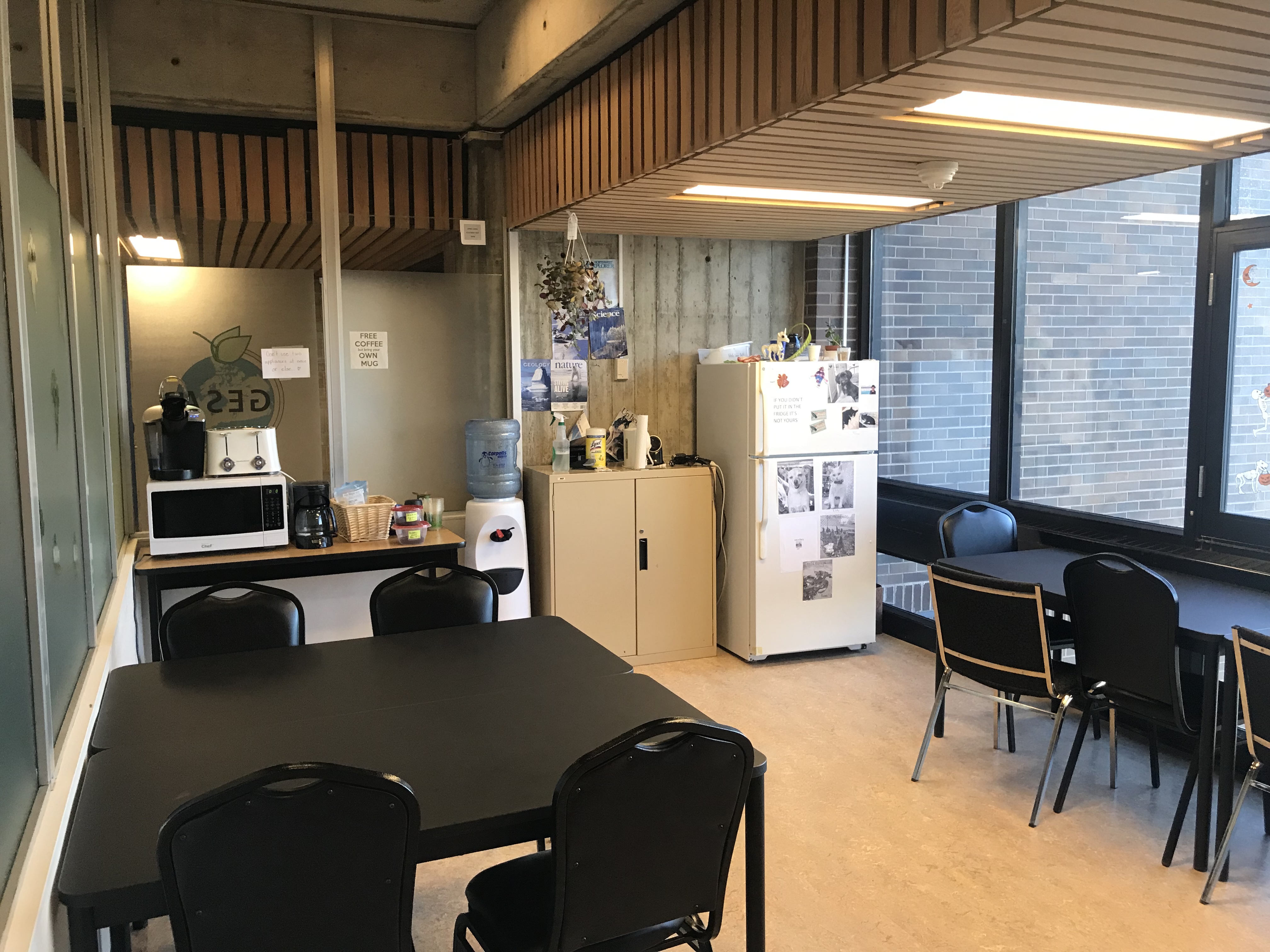 Common Room. The Common Room has been set aside for senior geography and environmental studies students (3rd and 4th year majors) to exchange ideas, socialize and make new friends. Perks include a microwave, fridge, kettle, toaster oven, tables and chairs. For more information call 786-9498, stop by the room (5L01) or see the Tania.